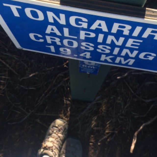
I awoke in the grey pre-dawn to a sky full of clouds and my spirits dampened just like the deck outside. I felt sure that my hike was going to be drab and dreary, full of wind and chills. Across the road, the lake sat still and quiet like the clouds above. The hills across the lake were swathed in fog. It was 5:00 am and I was about to embark on a 19.4 km hike across an active volcanic field.
let’s go back two weeks
I’m a member of a Facebook group for backpackers in New Zealand. A girl posted, looking for people to hike with. I responded, and we quickly added four others to our potential hiking group. We fired questions back and forth, we planned a trip to Taupo, we talked gear and plans. I waited to book my hostel and my bus north. The day I was going to book, I checked the weather. Rain. Wind. Clouds. It did not look promising. But that was on weather.com, and I’d recently heard about wunderground, so I checked them out. They had the complete opposite forecast. Grace sent her weather report through too, and we compared. I decided to book anyway, and got a bed at the Haka Lodge in Taupo, where at least two other members were staying. I booked a one-way bus, on the rationale that if the planned hike didn’t work out, I could stay in Taupo and try to go the next day.
 {LOTR fans will recognise this as Mt Doom. it’s Mt Ngauruhoe, one of three volcanoes to make up the park}
In the kitchen, I made some strong black tea and heated up my pasta from the night before. I added my sandwiches to my daypack and zipped it up. At 6:30 the bus arrived to pick me up and – after picking up multiple others – we headed out toward the Tongariro National Park.
hiking the tongariro alpine crossing
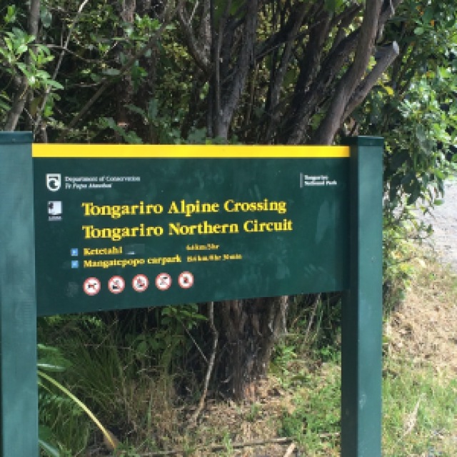
The bus finally stopped at the Mangatepopo car park and we piled out. There must have been two hundred people milling around, with at least a hundred more already hiking and another hundred still behind me. The Tongariro Alpine Crossing is definitely a popular hike!
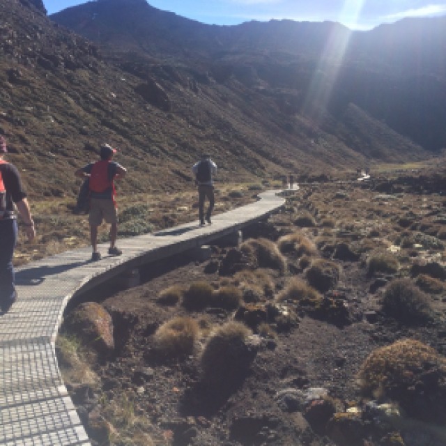
I slathered on sunscreen, used the toilet, and set off on the lava path. The Tongariro Alpine Crossing begins along a leisurely walk through the Mangatepopo Valley. This valley is believed to have been formed during the last ice age and partially filled in with volcanic rubble. Man-made steps alternate with volcanic paths and boardwalks. Streams gurgled under my feet. Lava flows dot the landscape and vegetation is sparse: only hardy plants like lichen and moss can survive in this harsh environment. It definitely lulls you into thinking this might be a pretty okay hike after all!
About an hour in, I hit Soda Springs. There, I contemplated leaving the path to detour to the waterfall. However, I judged myself short on time if I wanted to spend a significant amount of time at my real destination.
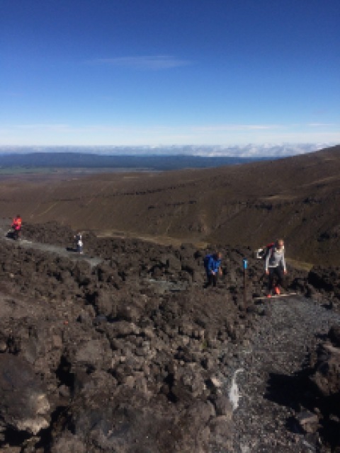
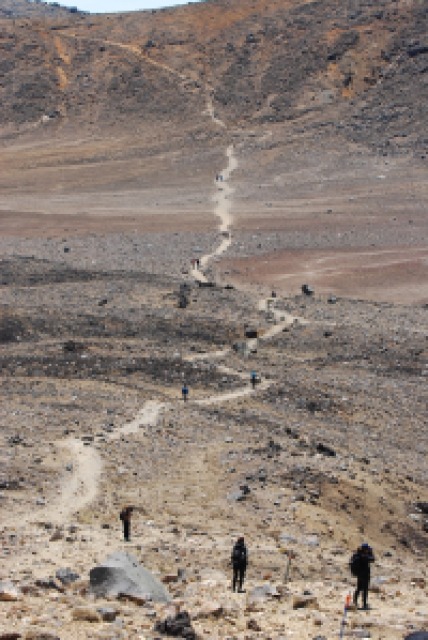
Right about now is when I realised I’m totally unfit and should spend more time walking instead of taking the bus. The Devils Staircase started and I think I stopped fifteen times in the hour long stairmaster. I wasn’t the only one either.
the craters and lunch under mount doom
There’s a crater – South Crater – at the top of the Devils Staircase, which must be what walking on the moon looks like. Golden brown rocks are scattered across the crater and Ngauruhoe looms above like a menacing sentinel. Methinks, if an eruption happens, we are all screwed.
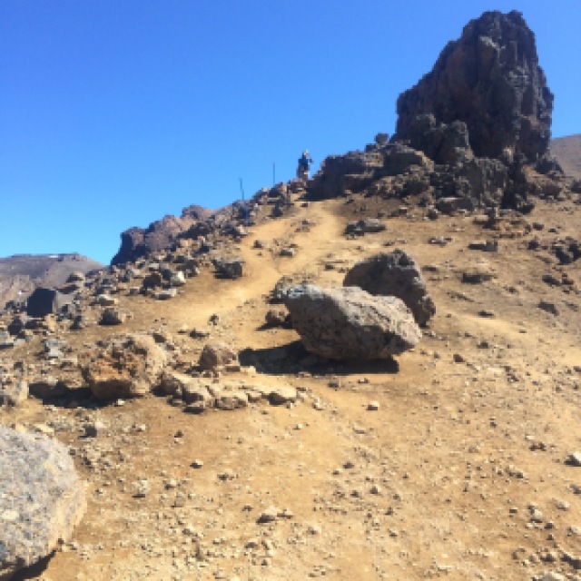
I finally passed them, and my fellow fast hikers and I reached the edge of the Red Crater and the path to the summit of Tongariro. I stopped here with some fellow Americans, Michael and Katie, and had some lunch.
the emerald lakes
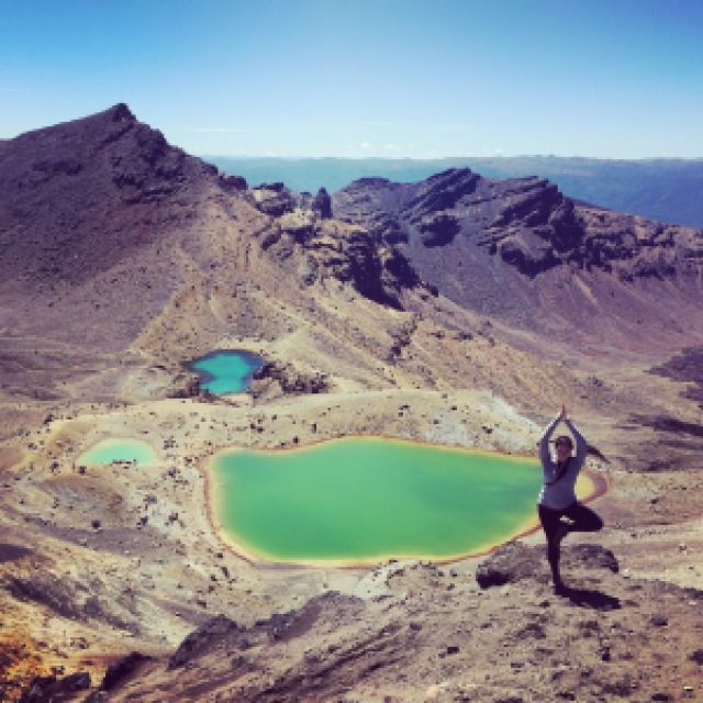
Remember that girl who said social media wasn’t all its cracked up to be? Yeah. There were ten people in line, and the rock is situated in a way that makes it appear you are alone at the edge of a volcano. In reality… not so much!
I asked the girl behind me to take my picture (#solotravellerproblems) and after I clambered back up, I noticed her friend had blood rushing down her leg. I whipped out my first aid kit and we cleaned her up a bit before I left them to it and kept sliding down the hill.
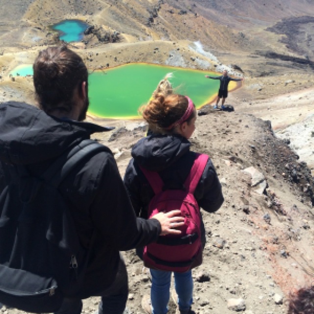
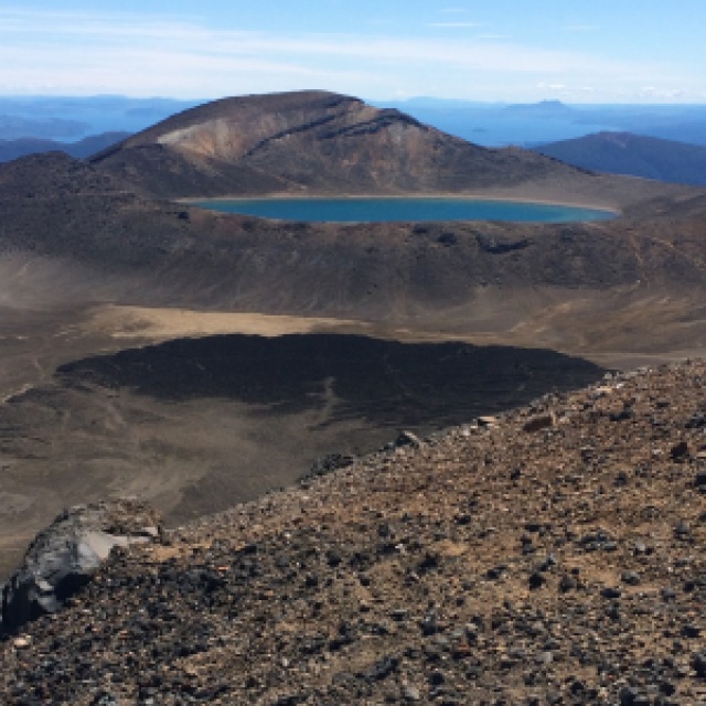
The Emerald Lakes are the lakes that appear in almost every brochure for the North Island: they’re iconic and lovely. Minerals leached from the surrounding rocks give them their brilliant blue colour, a sharp contrast to the golden, red, and black rocks nearby. They’re also extremely sulfuric and unfit for drinking. I sat above them for a little while; two guys came running down the hill (blaring the LOTR theme song = obnoxious!) but I got them to take a picture of me anyway.
one last crater to cross
I left the Emerald Lakes behind as I also left behind hundreds of people sitting in the sun. My walk across the Central Crater was simple, solo, and quiet. I climbed to the edge of Tapu lake, the blue lake – a sacred Maori spot – and Katie and Michael. We said our goodbyes here; they’ll reach Wellington by Christmas and we might meet up. They shouldered their huge packs and turned back for the turnoff to their hut for the night, another three hour walk. I went the other way: toward the Ketetahi hut and the final four hours of my hike.
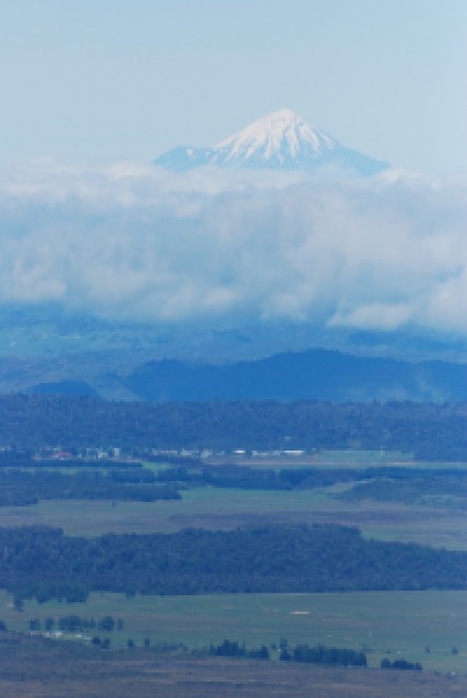
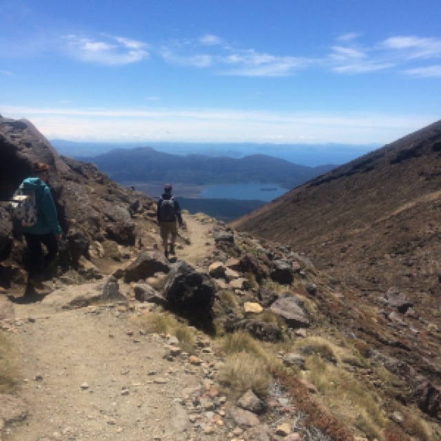
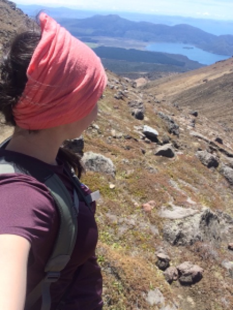
The last half of the hike is a vastly different environment from the beginning: the trail winds around the slopes of Mt Tongariro, and the winds die down. The vegetation slowly grows, and the views across Lake Taupo become more and more pronounced. I reached the Ketetahi hut around 1:30 and unwrapped my last bit of sandwich. I took my shoes off here too; my feet were feeling blistery and I wanted to dry out my socks. An older man sat next to me. He’d been behind me on the trail, his hiking poles clip clopping in my ears. Later, we would strike up a conversation for the last hour of the hike.
I finished my sandwich, made eye contact with a few other weary hikers, put my shoes back on, and wiped the little bit of cheese from the corner of my mouth. The sun was out in full force – not a cloud in the sky – and I went down to a t-shirt. It was also about now that I wished I had on either shorts or shorter leggings. My legs were sweating!
I had thought we were done with the uphills, but as I came around the bend from the downhill past the Ketetahi hut, I saw that the trail stepped down, only to cross a small, rushing stream and begin to step back up again. Sixty-three steps down, sixty-three steps up. If I never see another hill again in my life, I’ll be content.
I forgot to check the sign times when I left Ketetahi so I asked the first person I saw: a Swedish couple. He spoke excellent English, she spoke none. Him and I walked along for maybe half an hour talking about everything from American politics (pre-Donald Trump) to American TV shows to the Eurozone. She stayed about five feet behind us. On pretense of taking some photos, I let them go ahead.
My hiking pole-clip clopping friend passed me, but as I rounded the bend into the shaded alpine forest, he was sitting on a bench. Somewhere along here, we started walking side by side. He was in Taupo because his daughter was participating in the half-Ironman the next day. We talked about tramping – my next hike, his next one, ones I’ve heard about and want to do, etc.
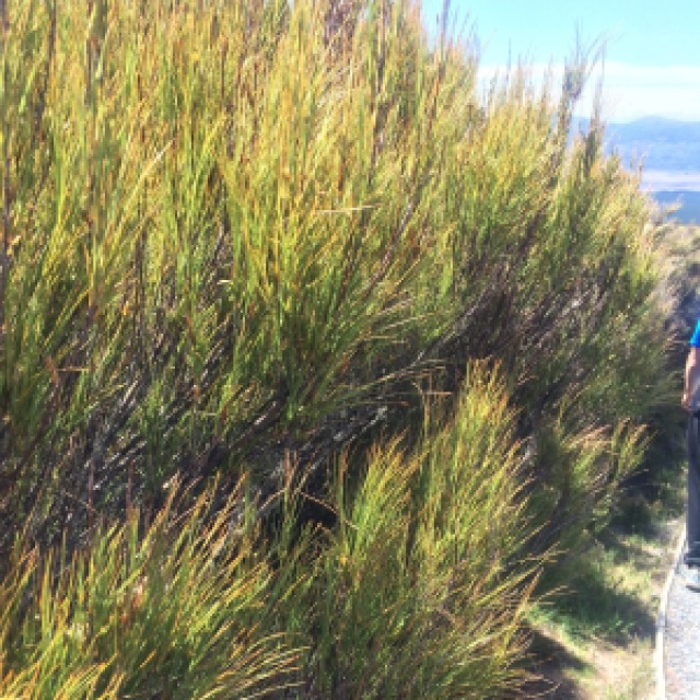
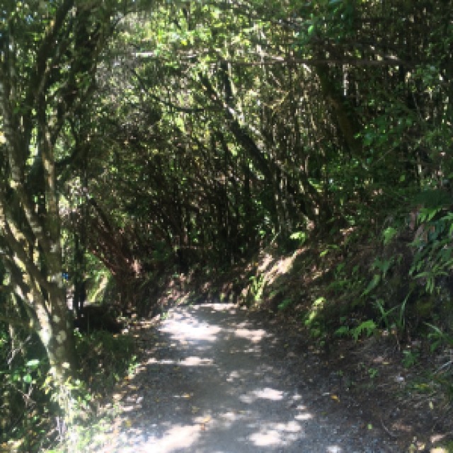
Soon we came to a large sign that advised we were entering a lahar area. Lahars are volcanic mudflows and they can happen suddenly and at any time during an eruption. (If you’ve ever seen that volcano movie with Dennis Quaid, you’ve seen a lahar.) They advise you to listen and not enter the area if there are noises from higher on the hill. We chuckled to ourselves and kept walking. The trail winds through a flat lava flood plain and the trees are now birch and pine. The brush is softer here, not the prickly, hardy plants from the other side. All too soon, we rounded the bend and almost tripped over the hundred or so hikers who were lazily laying on the grass awaiting their rides. We said our goodbyes there, two strangers returning to the normality of real life after experiencing a gruelling, day-long, at times treacherous, hike.
I can’t recommend this trail enough: it was an absolutely incredible experience. Even though I didn’t get to do it with my original group, in the end it didn’t matter: I met people, I talked when I wanted to, and I was left to my own devices. I could stop and take photos when I wanted to, and I could hike at my own pace. Many thanks to Tongariro Expeditions for the return bus to and from the trail back to Taupo.
more information:
Avid hikers can experience the thrill of hiking the eight-hour Tongariro Alpine Crossing or tackle the three- to four-day Tongariro Northern Circuit. The crossing begins at the Mangatepopo car park, accessible from any nearby town by bus. The circuit begins and ends at the Whakapapa village. During peak season, hikers planning to use the huts must reserve them with the DoC and pay per hiker, per night. Campsites also must be reserved. In the off-season, huts and campsites are first-come, first-served. Additionally, hikers should be prepared for all weather, as it can snow at any time of year. For more information, visit the DoC Tongariro website.
Tongariro National Park is New Zealand’s oldest national park and a dual World Heritage site. This recognises both the Maori cultural and spiritual associations as well as the stunning scenery and volcanic activity. Mounts Ruapehu, Ngauruhoe, and Tongariro are all active volcanoes and signs around the trails highlight the risks of hiking in the area. Be aware of your surroundings and any unusual sounds from higher up.
I recommend booking transport from your hotel/hostel to and from the trail. From Taupo, it’s about $65/person round trip, from Turangi it’s $45/person. This will save you having to park a car at one end and try to get back to it… also it’ll be safer for your car to be in the hotel/hostel parking lot!
*I was not paid to talk about my transfer shuttle or the DoC; all opinions in this post are my own.*








4 thoughts on “travel essay: the tongariro alpine crossing”
Comments are closed.