This week’s hiking in New Zealand post kicks off on the South Island. From Wellington, you can see the Marlborough Sounds, and since they’re on pretty much the same latitude, the climate is very similar. The further south you go, the more varied the landscape and the climate gets. Expect chillier nights, warm days, and lots of rain. What hikes should you tackle on the South Island?
This week, I’ll describe hikes on the northern end of the island, from the Queen Charlotte Sound to Christchurch and Arthur’s Pass.
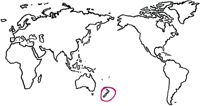
Did you miss the last few? Read about hiking in New Zealand’s North Island here. Read the first post in this series here.
Marlborough

Queen Charlotte Track
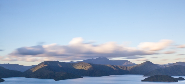 {image from Russell Street/Flickr}
This part of the country is often overlooked by travellers debarking the ferry in Picton and immediately heading south. Save a few days in your itinerary for the marvelous Queen Charlotte Sound and include some hiking or mountain biking along the track. The track itself is 71km long and takes around four to five days to complete. You will need to book transport to the start or finish of the track as it is only accessible by water taxi. Some tour companies offer full service hiking, where they transport your packs from point to point, and there is accommodation – some of it quite luxurious – along the track if you are keen to sleep in comfort after a day on the muddy track. Get more details on the QCT here.
Pelorus Bay tracks
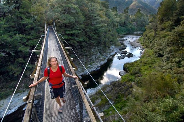 {image from MarlboroughNZ.com}
Adjacent to the Queen Charlotte Sound is Pelorus Sound, where you can find various tramps of differing lengths and difficulty. Tracks are accessible only by water taxi and many roads in the Sound are unsealed, so if you are looking for a remote place to spend some time, this is it.
Wither Hills Farm Park
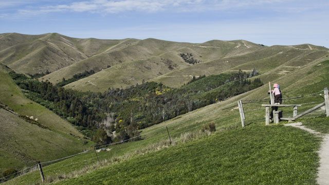 {image from Marlborough Online}
A 50km walking track that leads you over rolling grasslands and through a working farm, this hike is perfect for exploring the Marlborough region. Despite its length, the walk only takes around ten hours to complete, so you’re free to spend the evening at a local winery (my kind of hike ;))
Nelson/Tasman
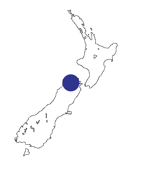
Abel Tasman National Park

In addition to being a Great Walk, there are some really awesome day hikes within the park. Do not miss this — incredible beaches, pristine forest, clear blue water.
Cable Bay Walkway
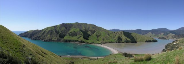 {image from James H/Flickr}
21km from Nelson lies Cable Bay, given its name due to the first international telegraph line laid here in 1876. The walk is steep, but rewarding, with views back over Abel Tasman National Park, Kahurangi National Park, Nelson city, and Boulder Bay. You need to arrange transport at one end or the other.
Nelson Lakes

A while ago, the “clearest lake in the world” was shared across social media, prompting many to wonder where it was. Well, its called Rotomairewhenua, its in the Nelson Lakes National Park in New Zealand and its a sacred Maori lake. Part of the Travers-Sabine hike (4-7 days), it is a challenging walk designed for experienced alpine hikers. Other walks in the park include trails around both Lake Rotoroa and Lake Rotoiti. I hiked the St. Arnaud track to the ridge line from the West Bay campsite, and it was unbelievable.
Canterbury/Lakes District
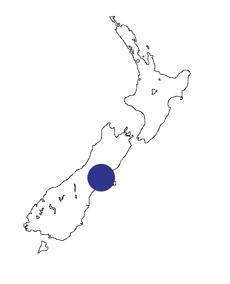
Arthur’s Pass
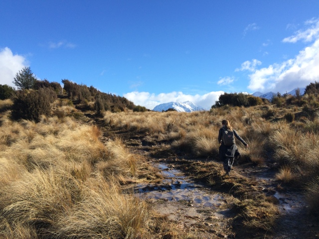
There are some incredible hikes with impressive vistas along much of Arthur’s Pass. Depending on your level of fitness and/or time constraints, you can tackle a full day hike or a short walk to waterfalls. My personal favourite is the Bealey Spur hike for its wide variety of landscape and the views back over the river valley (and actual pass) below. This is also a good hike if the weather isn’t ideal, as rain tends to congregate within the pass and Mount Bealey is just outside of it. The most popular walk within the park is Avalanche Peak (6-8 hours round trip) which is challenging but rewarding and offers a glimpse at Punchbowl Falls (10 minutes in – a popular stop for buses and tourists with little time). Get all the details on Arthurs Pass hiking here.
Mount John Walkway

This is an easy walk straight to the top of Mount John, or a meandering walk along the lakeshore and then a gradual walk to the top. The observatory at the top is one of the world’s best – it is, after all, located within the Aoraki International Dark Sky Reserve – and houses state of the art equipment. One is open to the public for tours, the rest are University and private. The views back over Lake Tekapo are impressive. Track begins and ends at Tekapo Springs, about a fifteen minute walk from the “town centre.”
Tasman Glacier track

A one-hour return walk that provides glimpses of the Tasman Lake and the glacier in the far distance under Aoraki/Mount Cook. From the lake track, take the detour to the Blue Lakes and if you’re feeling adventurous, keep walking. You’ll come out on the Ball Hut road. 3-4 hours down the road is the Ball Hut, the first hut in the Ball Pass crossing (< this is an unmarked route. Do not attempt unless you are highly experienced in alpine crossings.)
The glacier walk and Blue Lakes are a good morning or afternoon outing, with the added Ball Hut road walk an extra bonus (do not attempt in winter/bad weather as it goes directly through avalanche terrain and an unstable moraine wall.)
Hooker Valley track
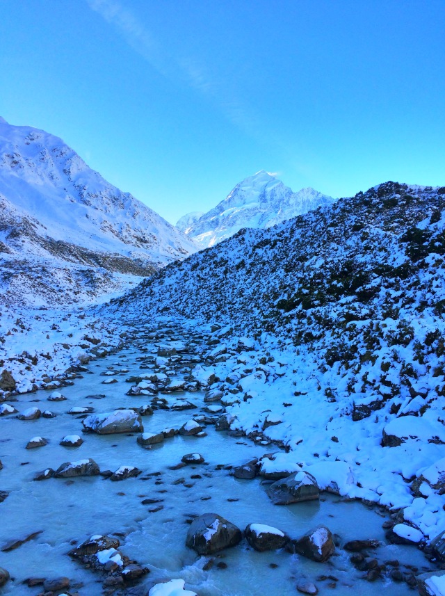
This trail is in my top ten NZ list. I was lucky enough to visit during the winter, when the trail was snow-covered, on a sunny, cloudless day. The track is mostly flat and crosses the Hooker River via swing bridge. The views of Mueller Glacier/Lake, the wildly impressive view of Aoraki from the end of the trail, and the vista back across the Sealy Range should not be missed. Definitely a must do if you are in the area.
Other day hikes in the Aoraki/Mount Cook area: Sealy Tarns and Ball Hut.
Next week, I talk about hikes in and around Christchurch and the Banks Peninsula, Queenstown, and Dunedin. Stay tuned for posts about hiking in the Southland and Fiordland, Stewart Island, and a list of all the Great Walks.
Like this post? Pin it!

3 thoughts on “new zealand: a hiker’s paradise, part three”
Comments are closed.